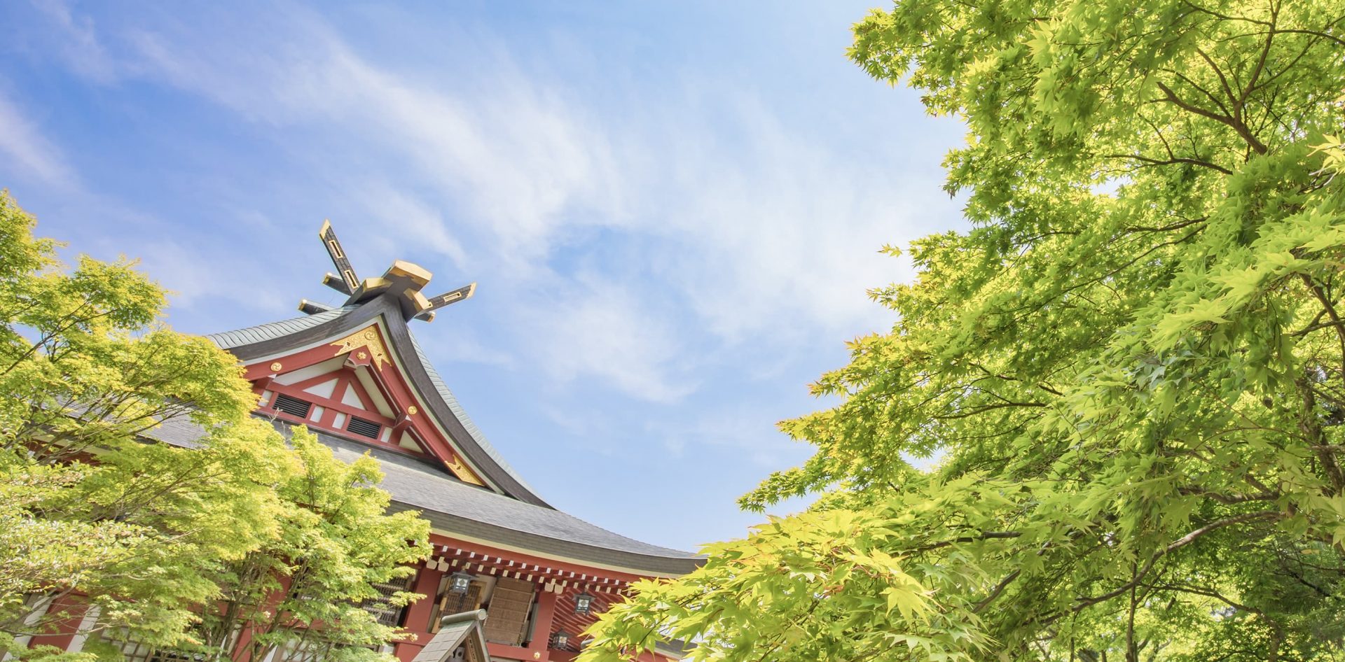
Shrine precincts
Mt. Oyama MAP

- Mt. Oyama MAP
- Oyama
Parking Lot No.1 - Oyama Parking Lot No.2
- Oyama Cable Station
- Afuri Shrine Station
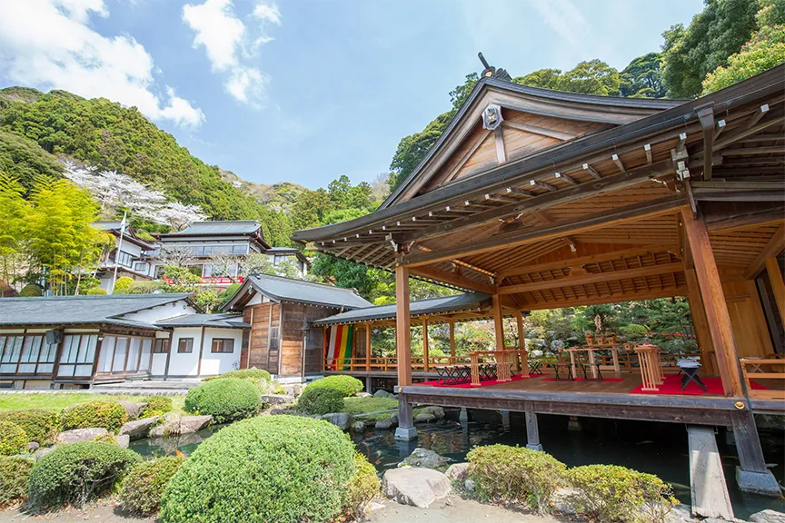
- Shimosha (Lower Shrine)
- Honsha (Main Shrine)
- Afuri
Parking Lot No.1 - Oyama
sakura
- Oiwakesha
- Koma sando
- Oyama Cable Bus Stop
- Shrine Office entrance Bus Stop
- Oyama
- Reception desk
of the Shrine office - Meotosugi

- Otokozaka
- Onnazaka
- Reception desk
- Reception desk of
the Shrine office - Reception desk
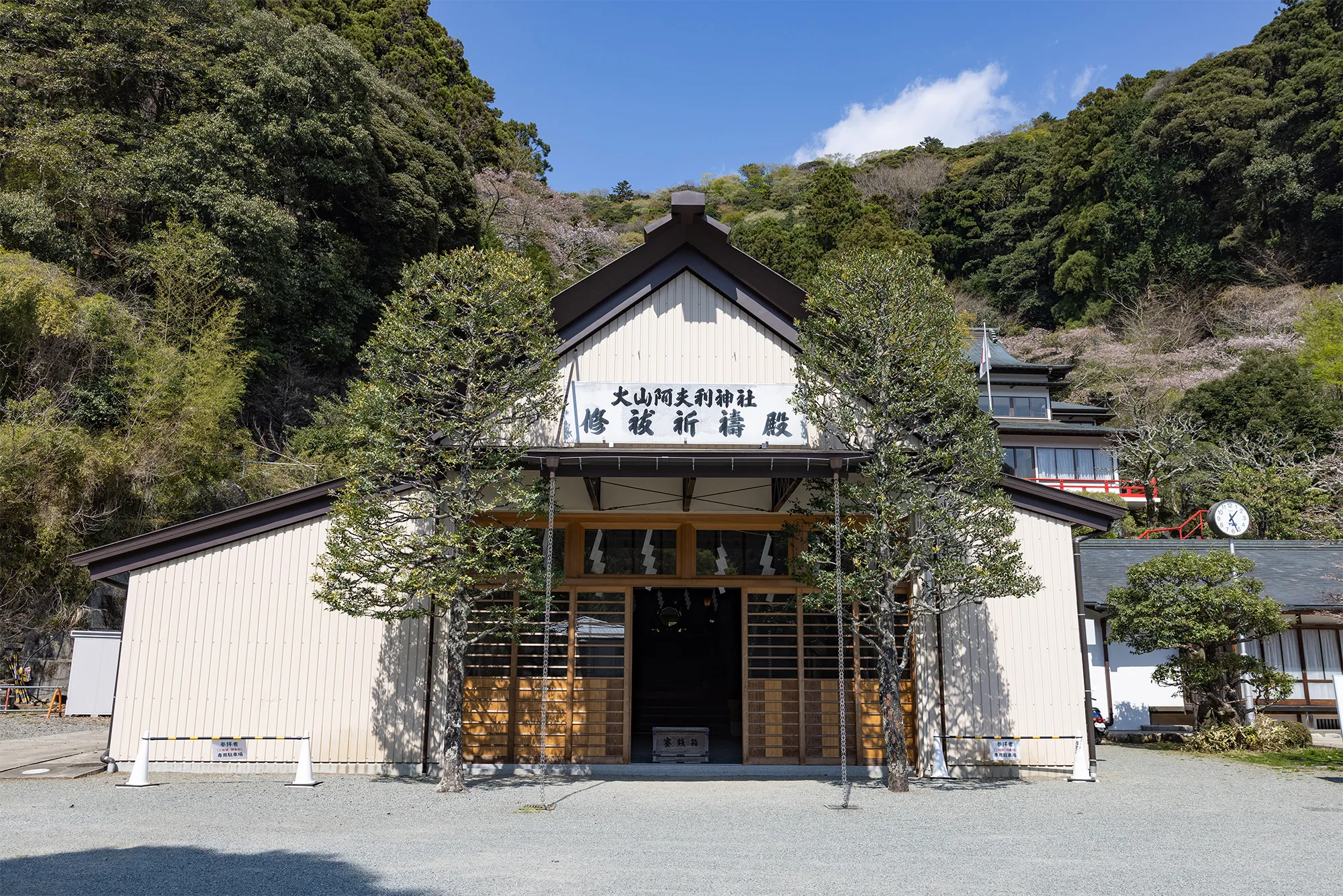
of the Shrine office - Soreisha
(Kitouden -
Prayer Hall) - Suirokaku
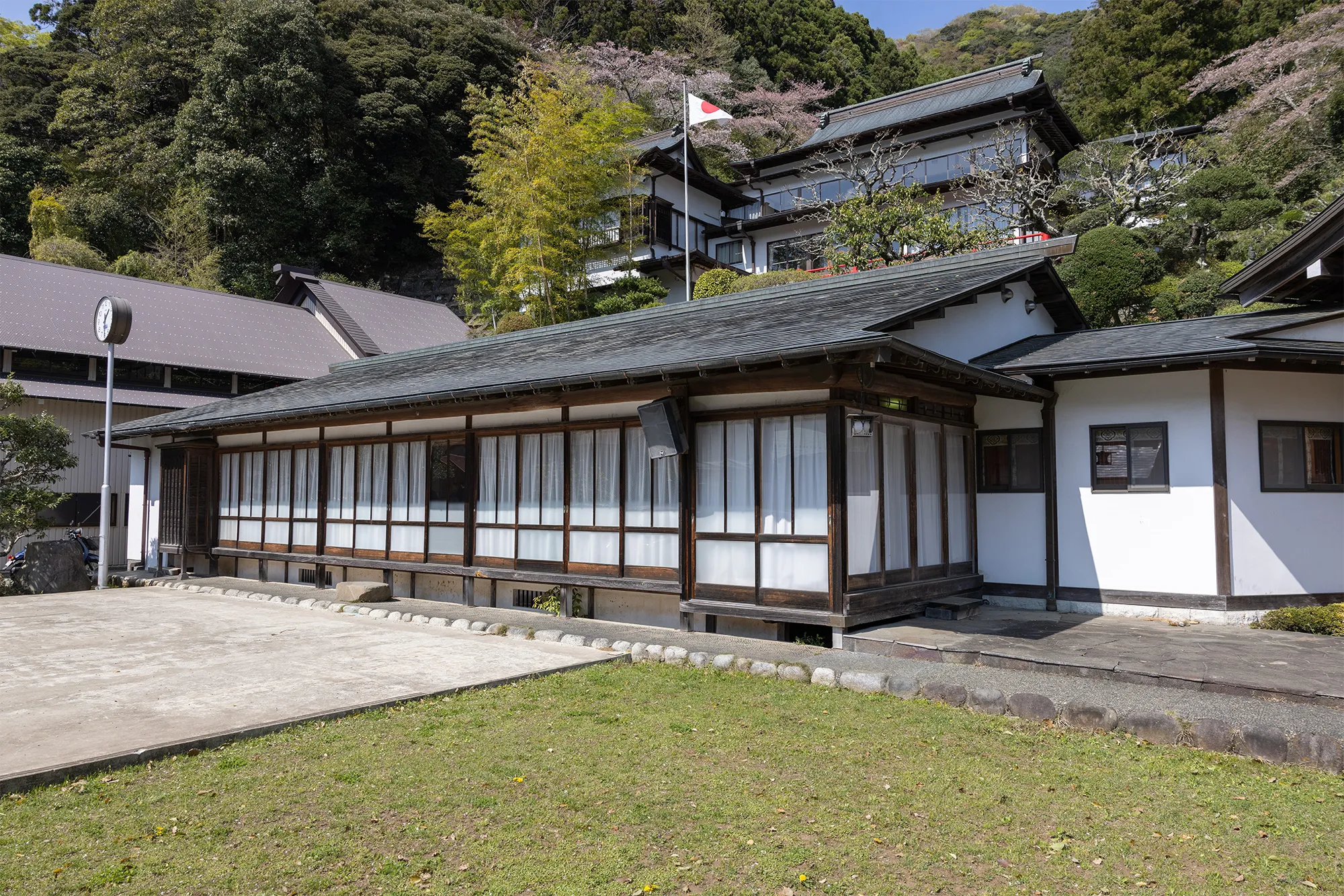
- Noh gakudou
- Katsu
Kaishu
Shrine
- Reception desk
- Car
Entrance - Car
Exit - Oyama
sakura
- Car


-
Located at the foot of the mountain, this facility offers prayers for those who cannot visit the lower shrine, as well as car purification services.
The facility also distributes red ink stamps and charms. Reception desk
of the Shrine office -
This is a worship facility located within the precincts of the shrine office. The annual autumn festival, the "Gonda Matsuri," a memorial service to honor the shrine's successive chief priests, and the "Ancestor Shrine Grand Festival," which enshrines ancestral spirits, are held here every year.
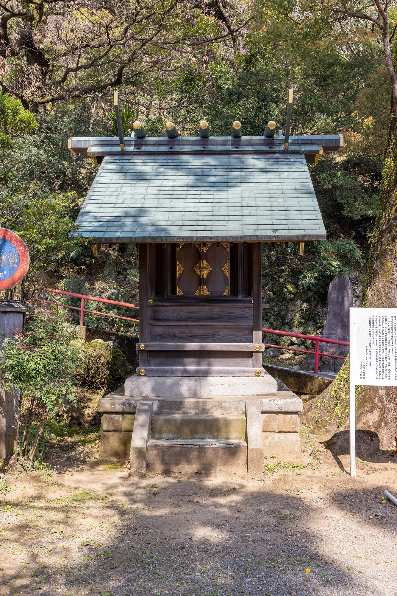
Soreisha
(Kitouden - Prayer Hall) - This facility follows the Noh Theater. This is the facility where His Majesty the Emperor (when he was Crown Prince) took a rest when he climbed Mt. Suirokaku
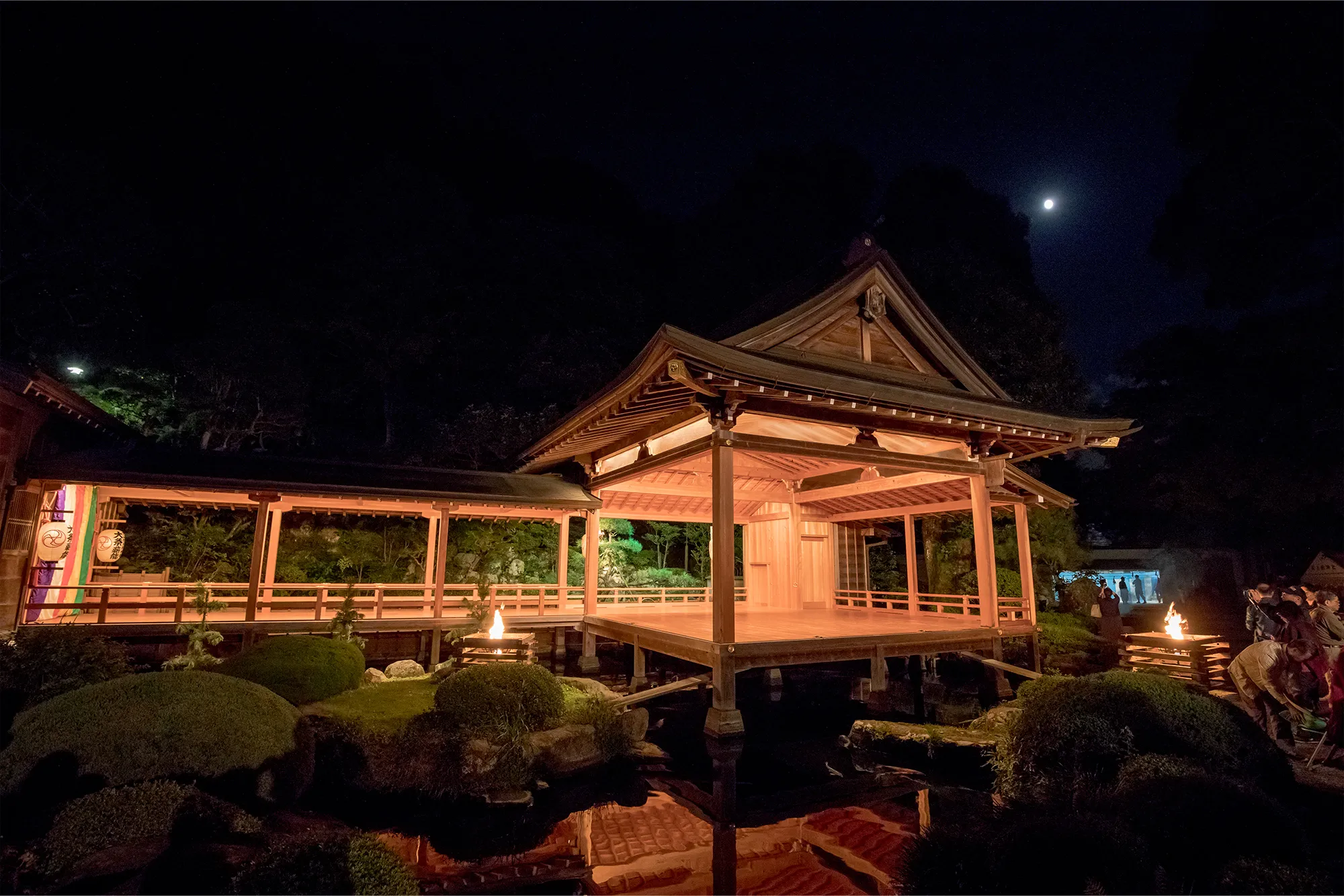
-
This Noh stage was built to preserve "Oyama Noh," which has a history of over 300 years, on the occasion of the 20th anniversary of the Oyama Fire Festival Takigi Noh.
In August, a Shinto ritual Noh play is held at the Autumn Grand Festival, and in October, the Oyama Fire Festival Takigi Noh play is held. Noh gakudou -
The shrine, which had been enshrined in the Katsu Kaishu villa in Senzokuike, was moved to this location because of its close relationship with Gonda Naosuke, the priest of Afuri Shrine, when it had to be torn down for road expansion construction.
The shrine enshrines Kaisyu Katsu as its deity. It is also known as "Katsu Shinsha.
The red ink stamps of Katsu Kaishu Shrine is available at the shrine office. Katsu Kaishu Shrine -
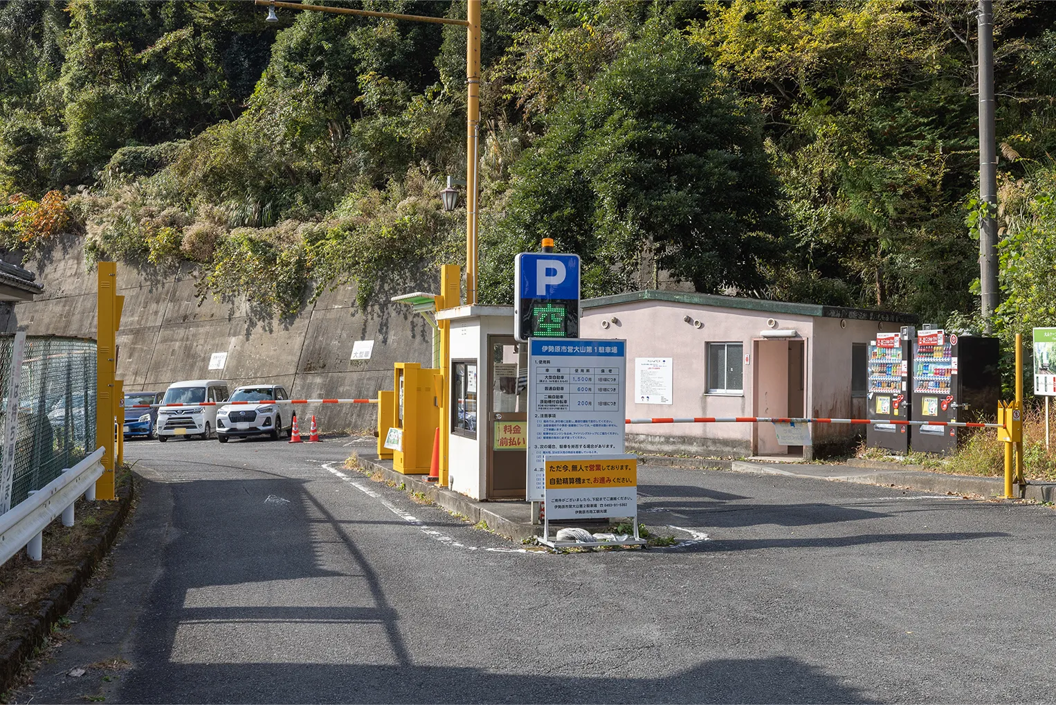
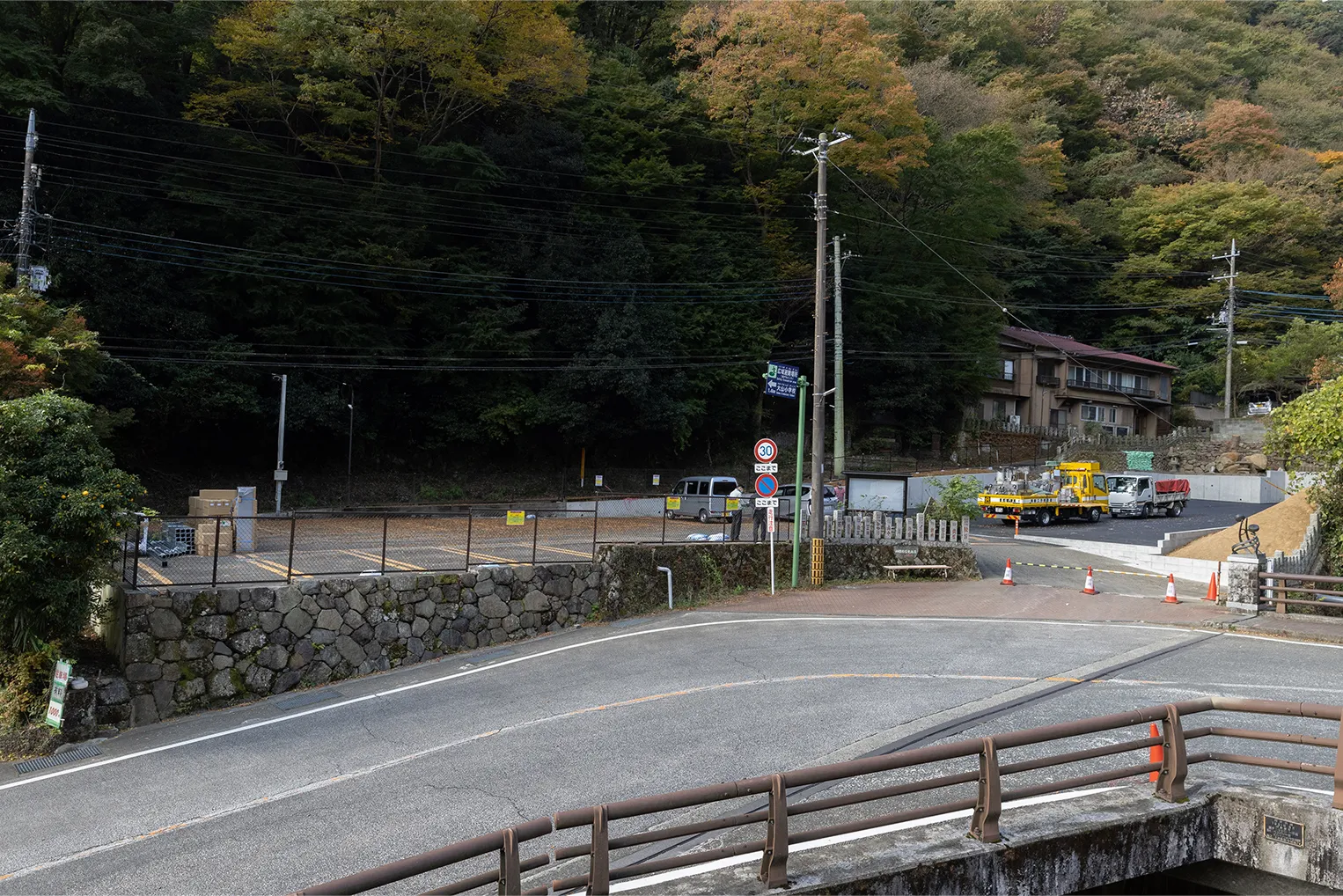
This municipal parking lot is available 24 hours a day and can be used by large vehicles, regular vehicles, motorcycles, and motorized bicycles. Please see the Access page for fees and other information.
Oyama
Parking Lot No.1 -
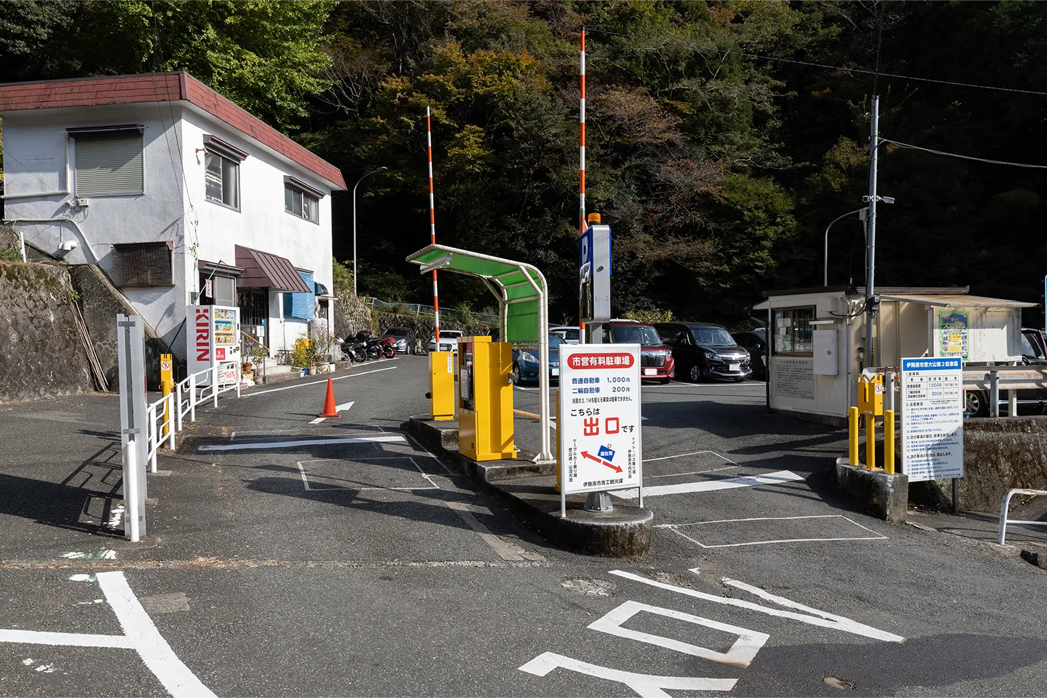
This municipal parking lot is available 24 hours a day and can accommodate vehicles up to 5 m long and 2 m wide. Please see the Access page for fees and other information.
Oyama
Parking Lot No.2 -
Cable car boarding area. Oyama Cable It takes about 15 minutes on foot from the bus stop to the Oyama Cable Station. Please check the cable car schedule from the Access page.
Oyama
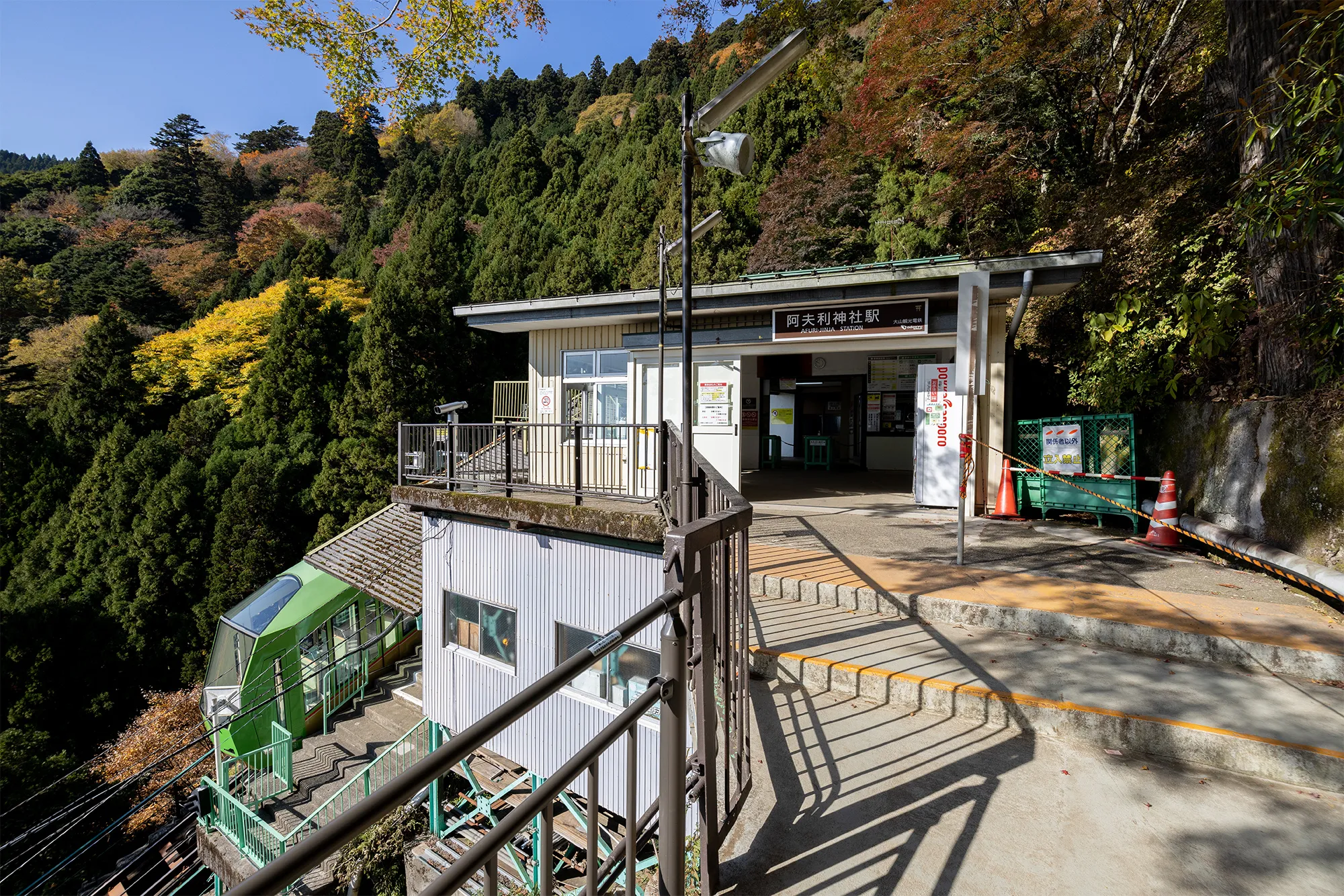
Cable Station - This station is located up the cable from Oyama Cable Station. It takes about 6 minutes. Please check the cable car schedule from the Access page. Afuri Shrine Station
-
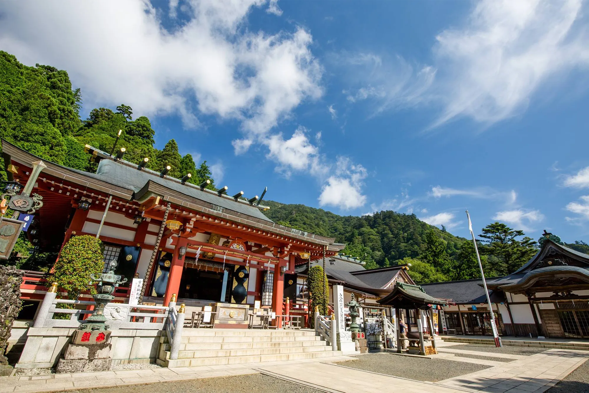
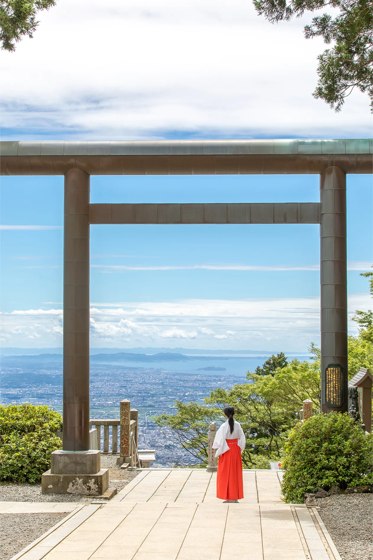
It is the main facility of the Aburi Shrine and the main place of pilgrimage as part of the Oyama Pilgrimage. The shrine stands halfway up Mt.
Three deities are enshrined here: Oyamatsumi no Okami,Ooikazuchi no Kami and Takaokami no Kami. Shimosha
(Lower Shrine) -
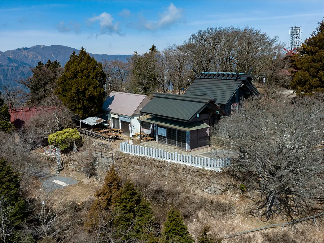
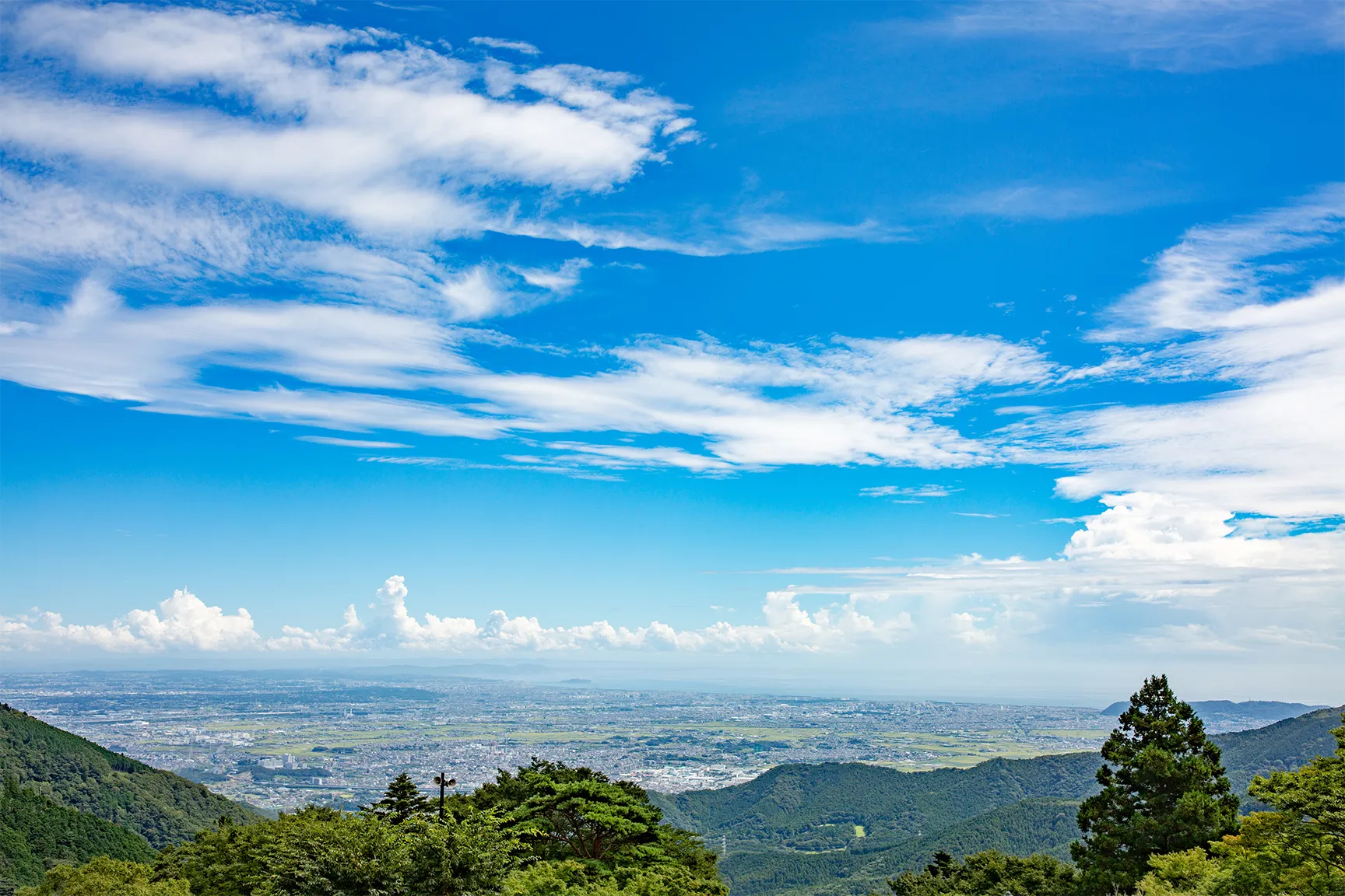
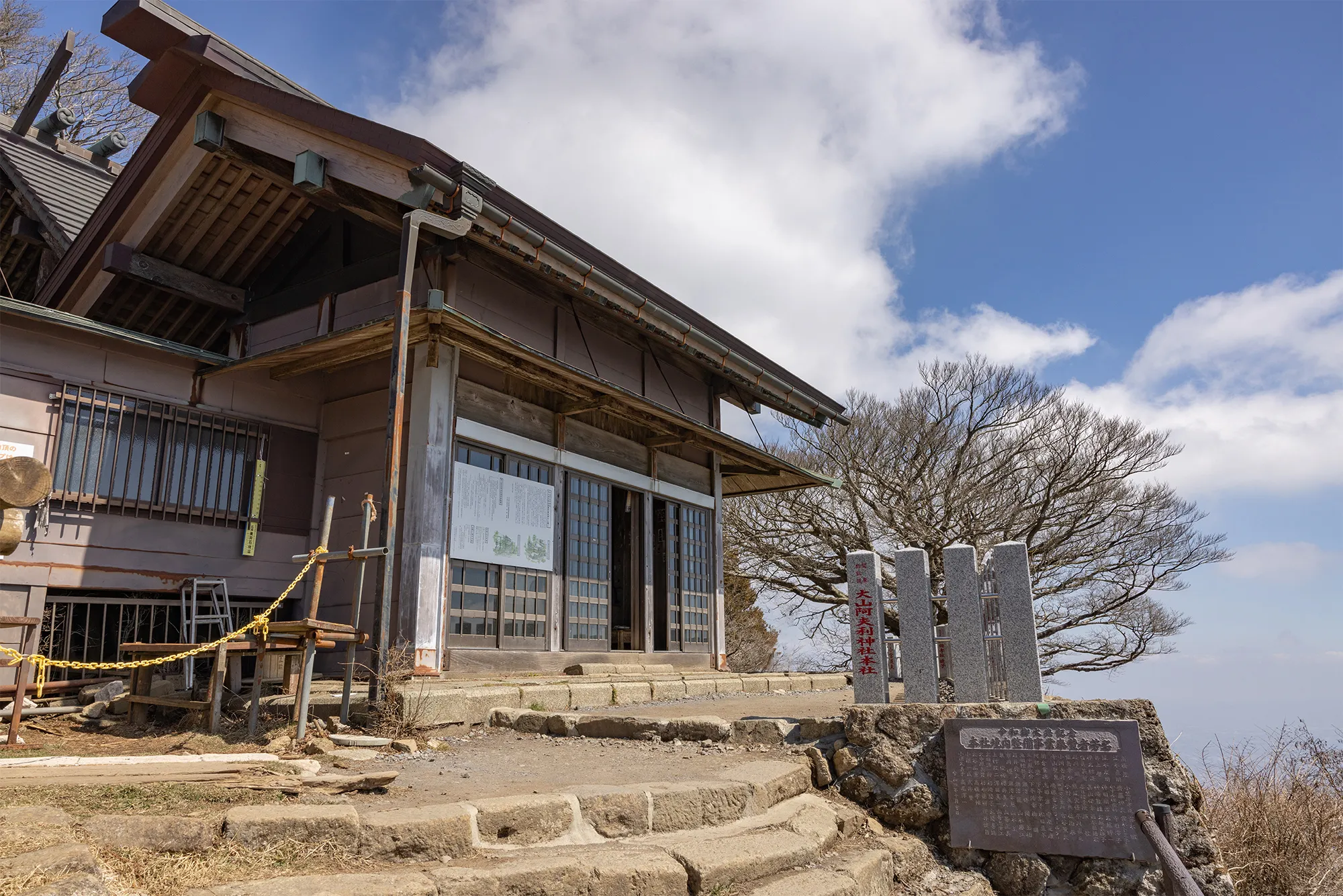
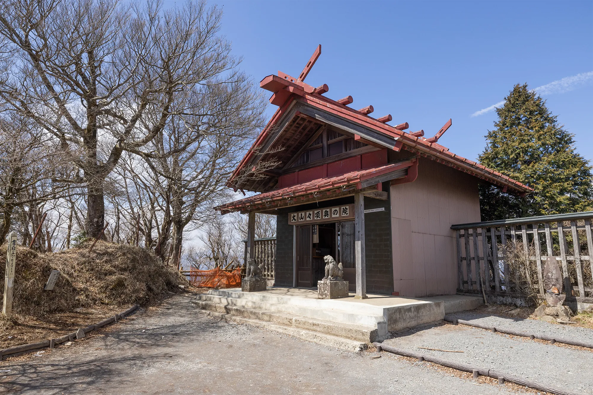
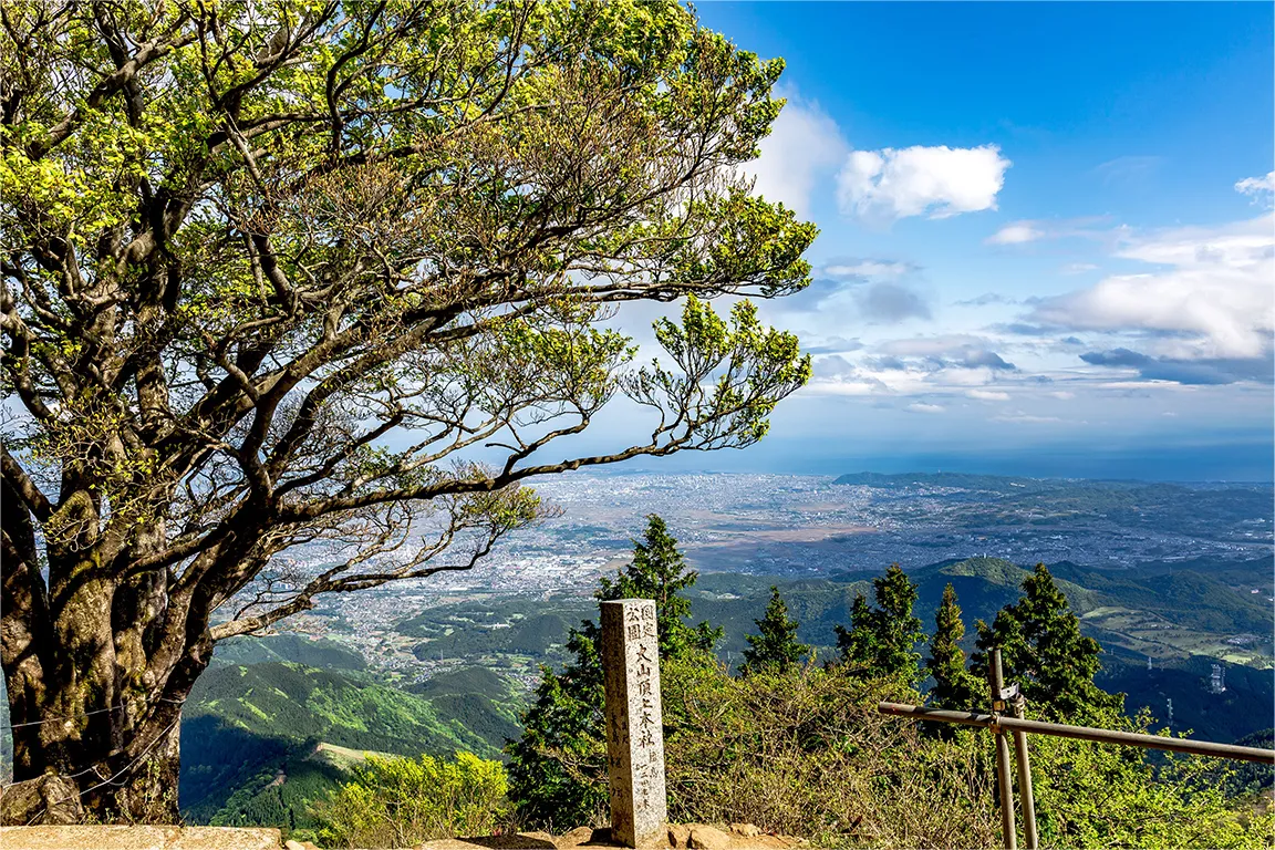
This shrine stands at the top of Mt Oyama. It takes about 90 to 120 minutes from the lower shrine to the head office, so please be well prepared and in good physical condition for the climb.
Honsha
(Main Shrine) -
This parking lot was built in 2022 and is operated by the shrine. Only standard-sized cars can use this parking lot. Please refer to the Access page for rates, etc.
Afuri
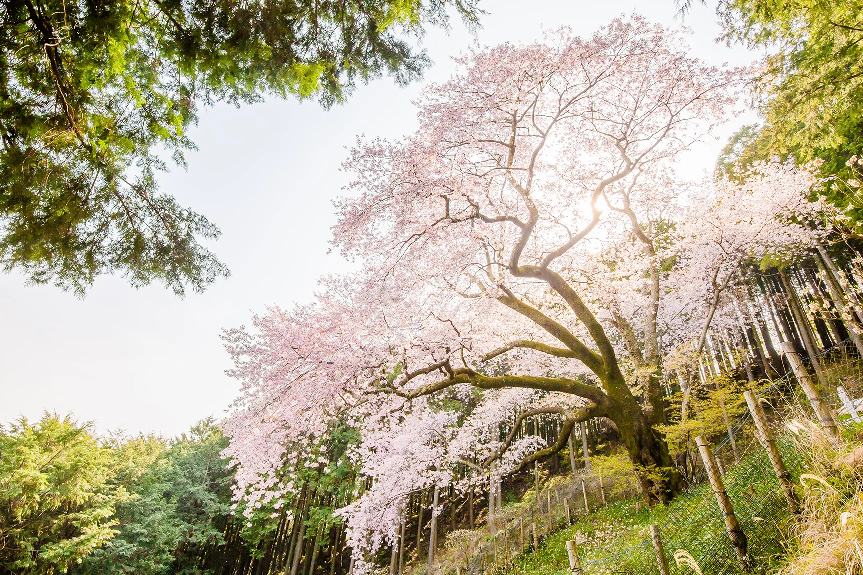
Parking Lot No.1 - There are four yamazakura (mountain cherry trees) scattered throughout the area that are more than 400 years old. Visitors can walk along the mountain path behind the shrine office to visit all the Oyama cherry trees. Oyama sakura
Estimated Time
- 「10Shimosha」「11Honsha」
- 90~120min walk
- 「Oyama Cable Bus Stop」「8Oyama Cable Station」
- 15min walk
- 「1Shrine Office」「Oyama Cable Bus Stop」
- 15min walk
Shimosha

- Shimosha
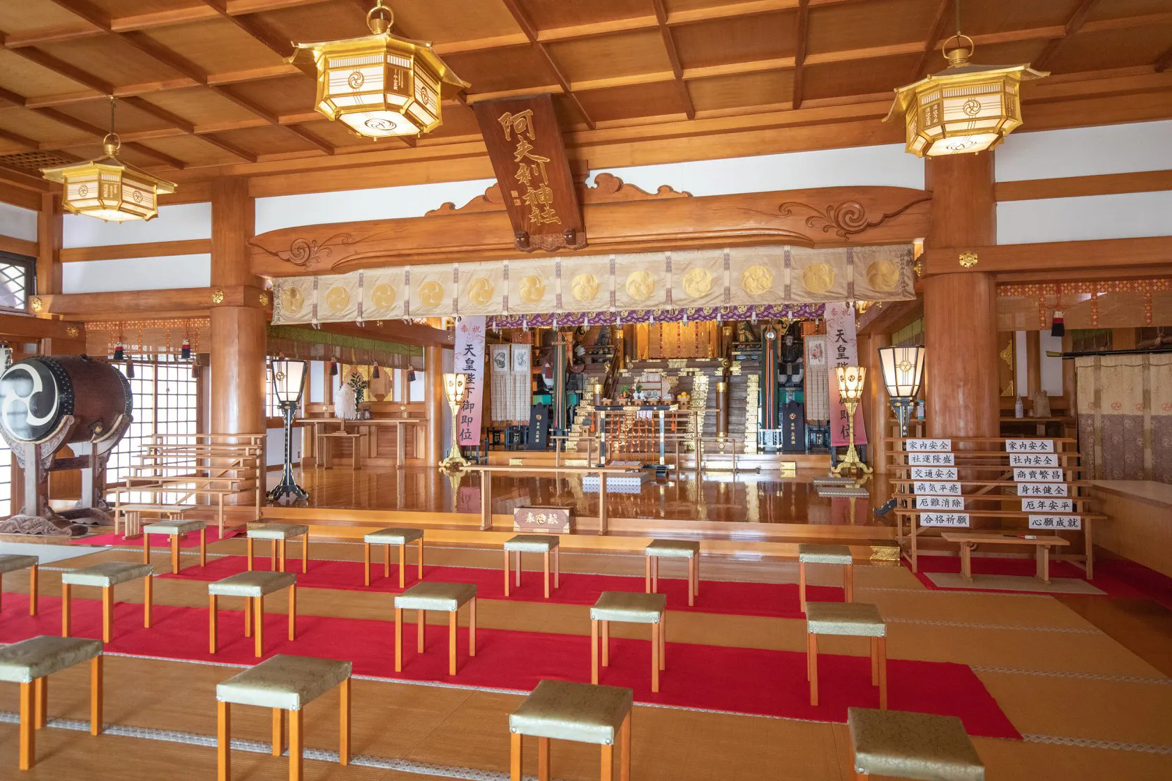
- Haiden
(Worship Hall) - Sansyuden
(Assembly Hall) - Otorii
- Afuri Shrine
Station - Kyakuden
(Reception hall) - Saryo Sekison
- Meotosugi
- Nijusha
(Waterfall)
- Haiden
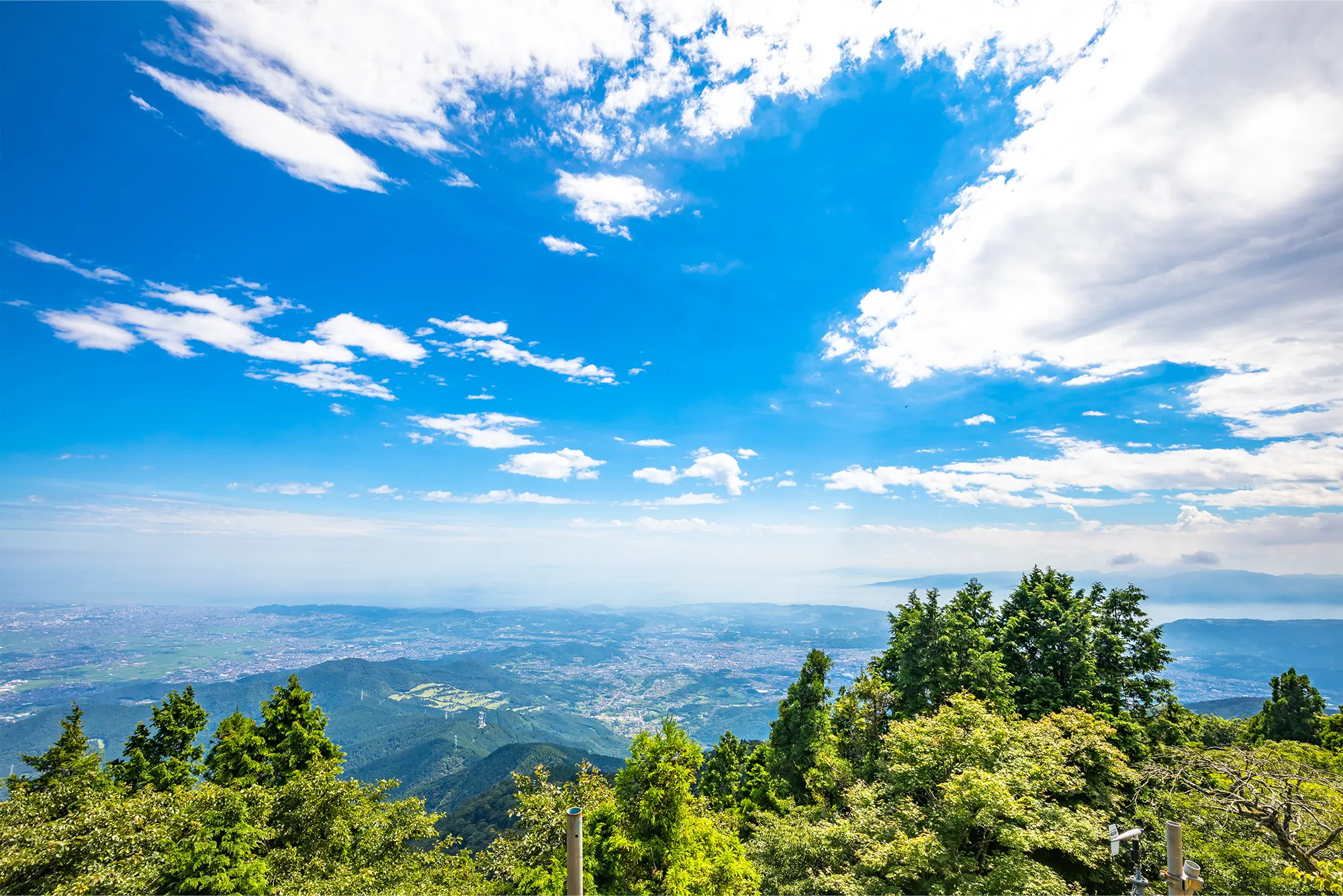
- Mt. Fuji

- Summit
- Observation
point - Sekison
Weeping
cherry trees - Gomagi
- Tea house
- Otokozaka
- Onnazaka
- Toilet
- Mt. Fuji


Stairs 
Scenic Spots


-
This is the place where Shinto rituals and prayers are performed in front of the Gods.
Haiden
(Worship Hall) -
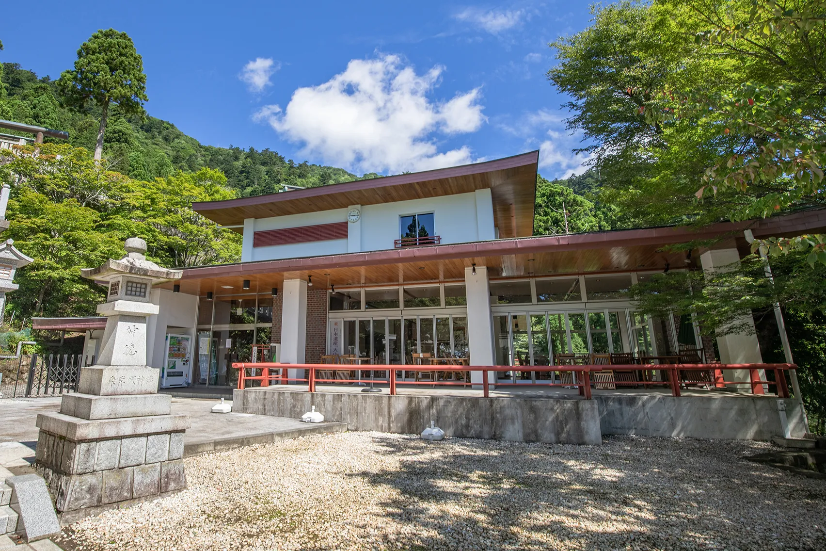
This is a rest facility for visitors to the temple. Various drinks and snacks are available. Please note that only restrooms are not available due to the need to secure a water source.
Sansyuden
(Assembly Hall) -
This is the Otorii gate in front of the lower shrine.
Otorii
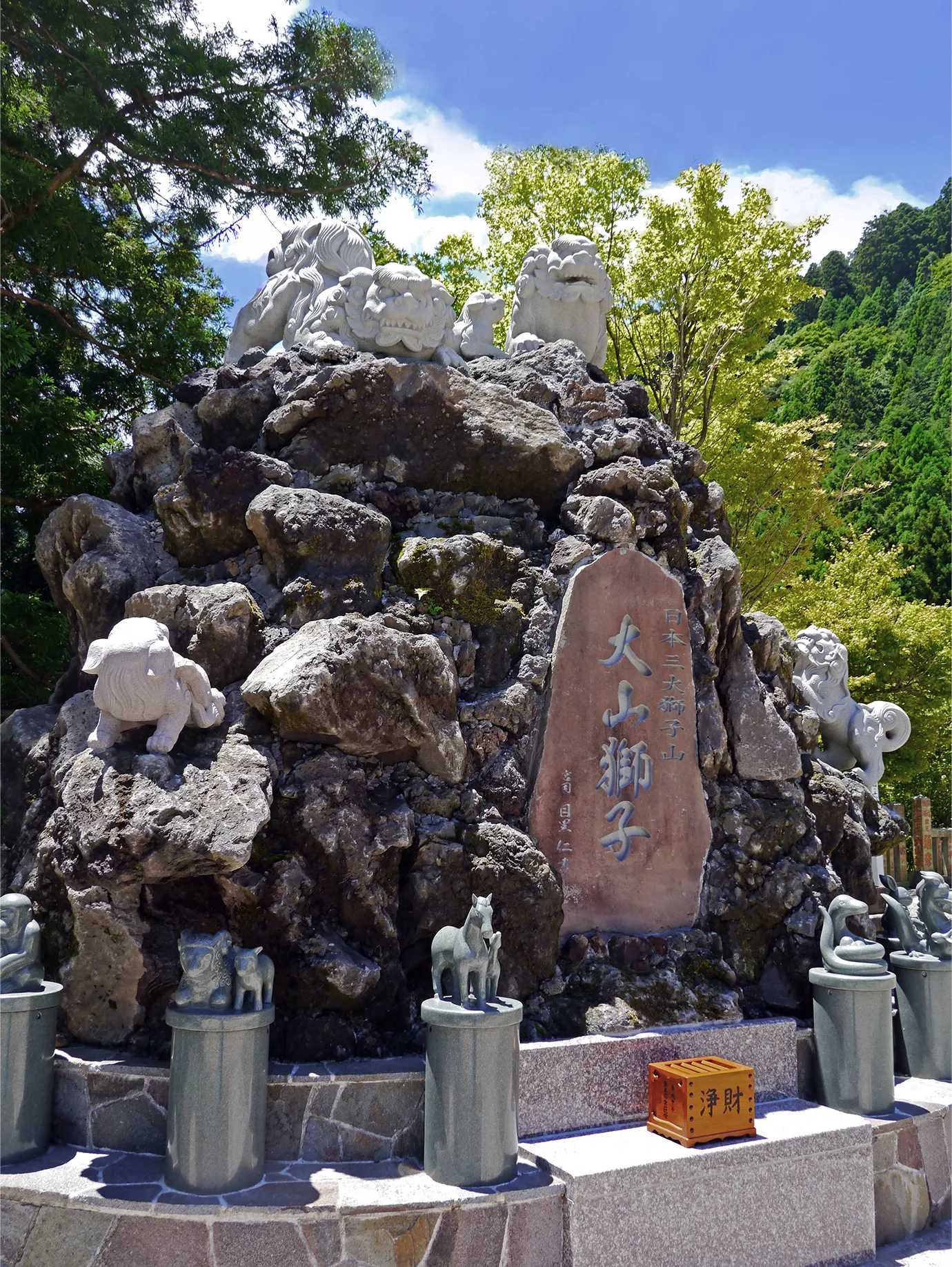
(The Great Torii) - Fuji, this five-headed Oyama lion was reconstructed using rocks from Mt. The twelve signs of the Chinese zodiac are also arranged around it. Mt. Shishiyama
-
This station is located up the cable from Oyma Cable Station. It takes about 6 minutes. Please check the cable car schedule from the Access page.
Afuri Shrine
Station -
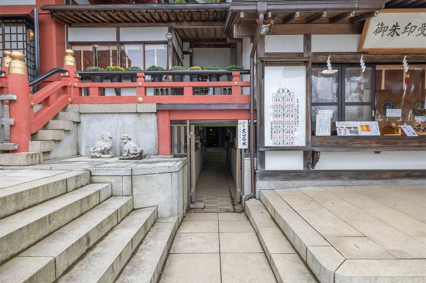
This is the entrance to the underground pilgrimage path. Please also enter the Shinsui from here.
Underground
entrance -
Please apply for amulets and sacred cards here. Please also apply for rThe red ink stamps here.
Charms
granting location - Various types of prayers and offerings are accepted. Reception desk
-
This is the waiting area for those who have applied for prayer.
Kyakuden
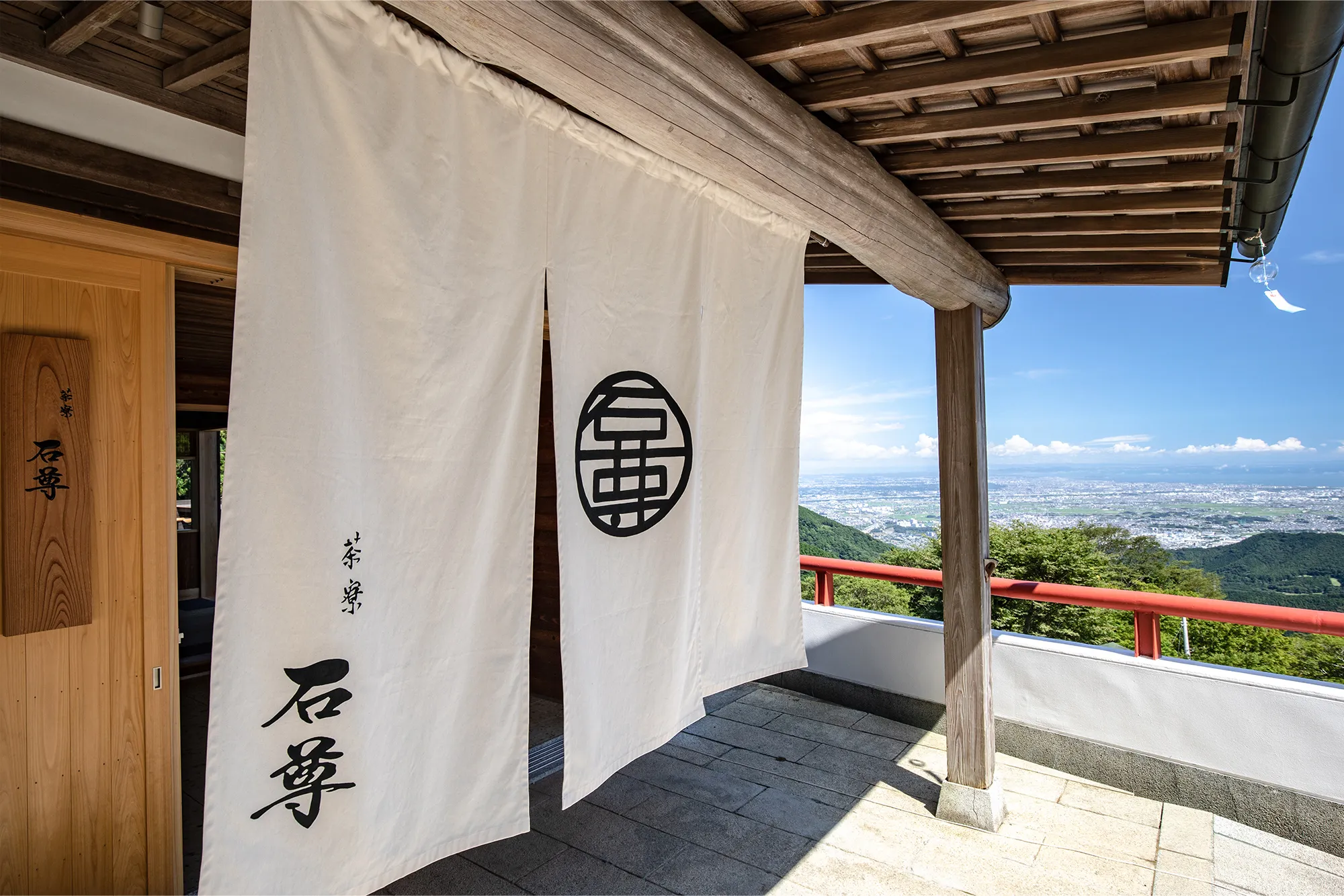
(Reception hall) - This tea house is located adjacent to Shimo-sha Shrine. Please enjoy coffee and light meals with a spectacular view in an elegant space that is close to people's hearts. Saryo Sekison
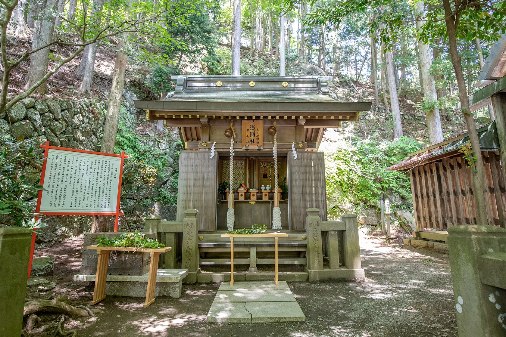
- This is a shrine that enshrines Princess Konohanasakuya, the enshrined deity of Mt. Fuji, who has a deep connection with our enshrined deity, and Princess Iwanaga, who is her sister deity. Sengensha
-
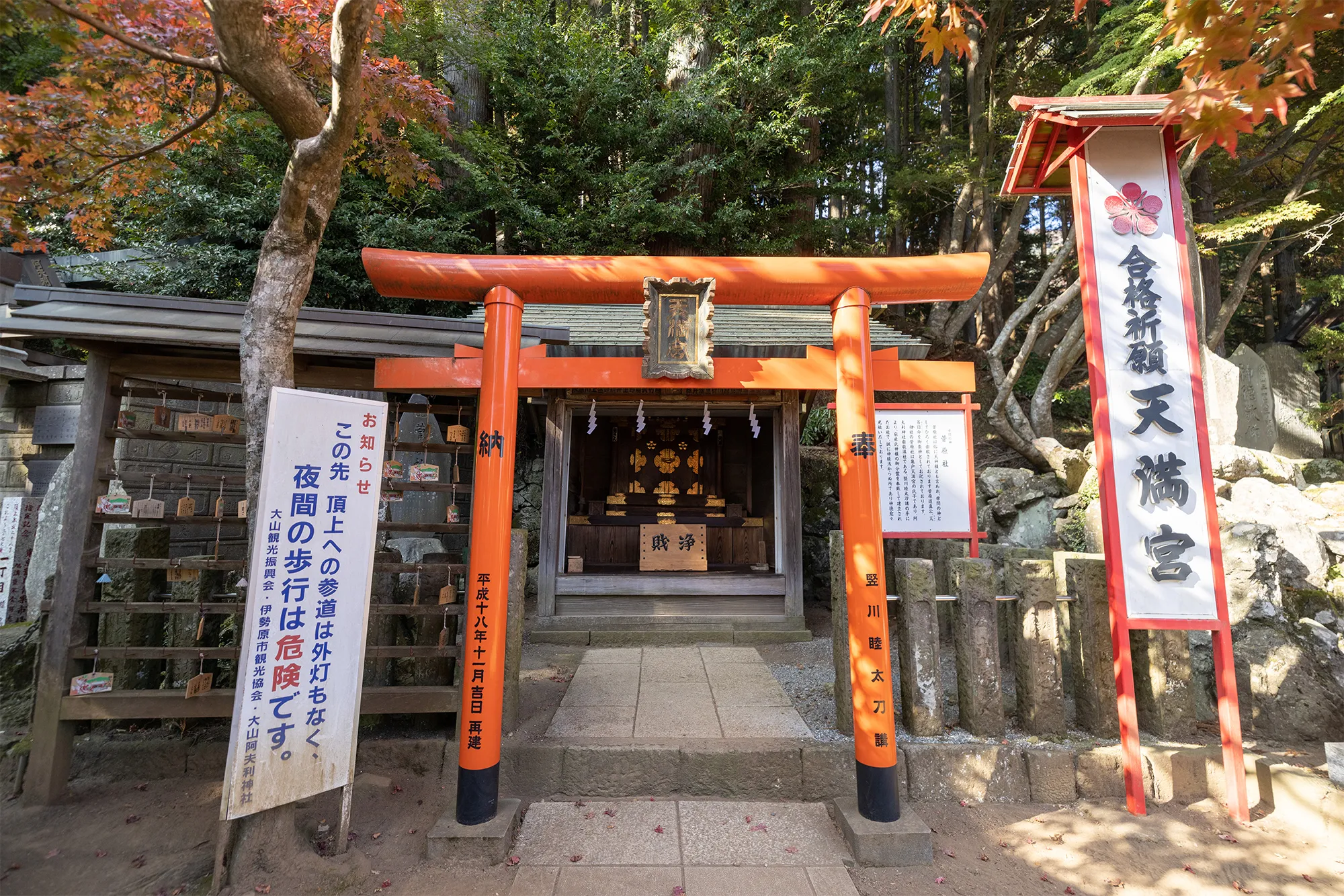
This shrine enshrines Sugawara Michizane, who was enshrined as a branch shrine by the Kameido Kosha.
Tenmangu
Shrine -
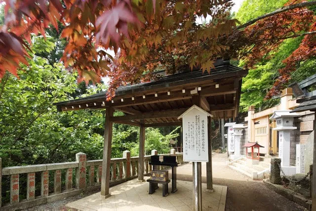
This is a purification place to purify yourself before climbing Mt Oyama. Please purify yourself before entering the mountain.
Entrance
Purification Place -
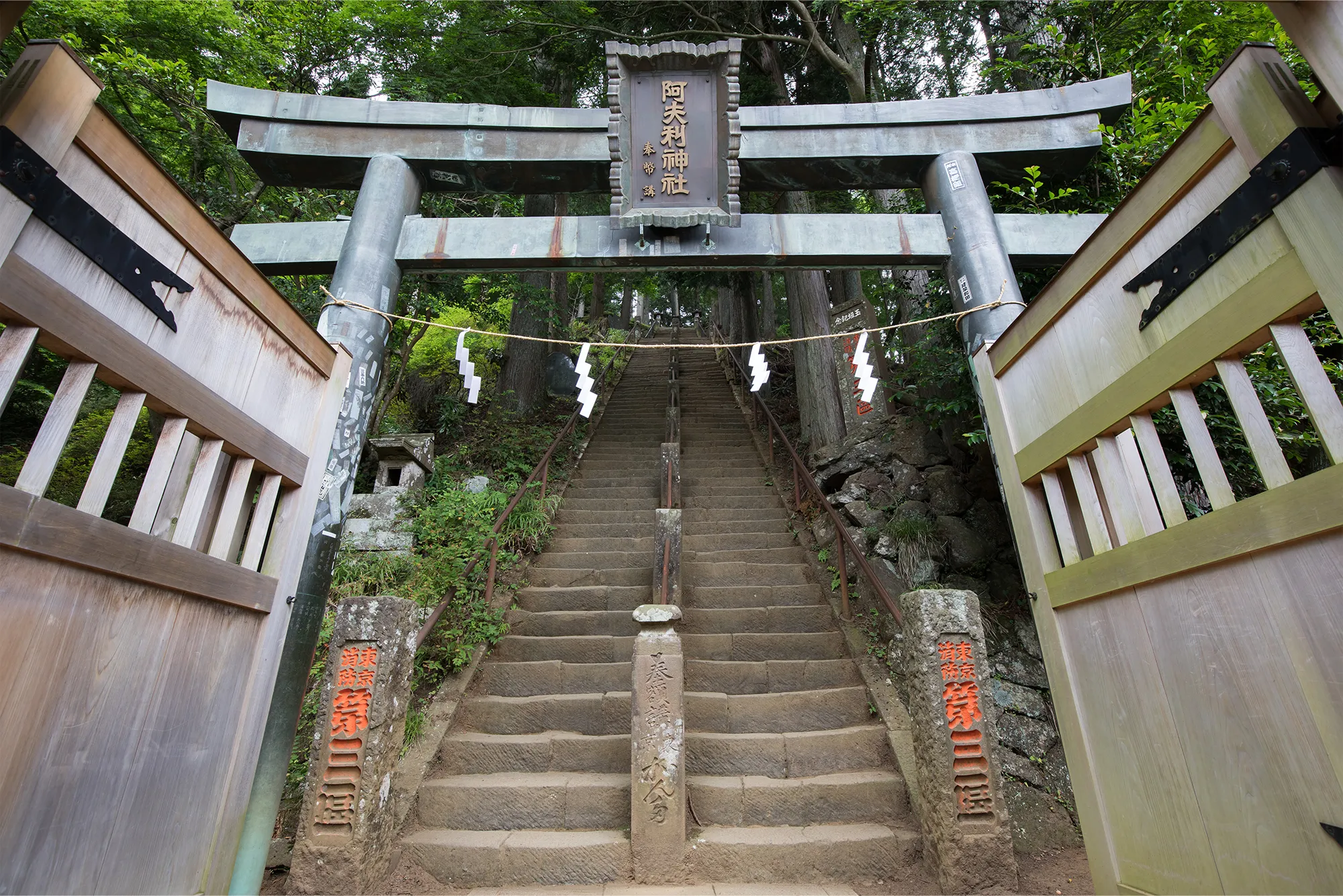
This is the main gate to the head office. Normally, one side of the gate is open, but during the spring and summer opening seasons, both doors are open.
Tohaimon
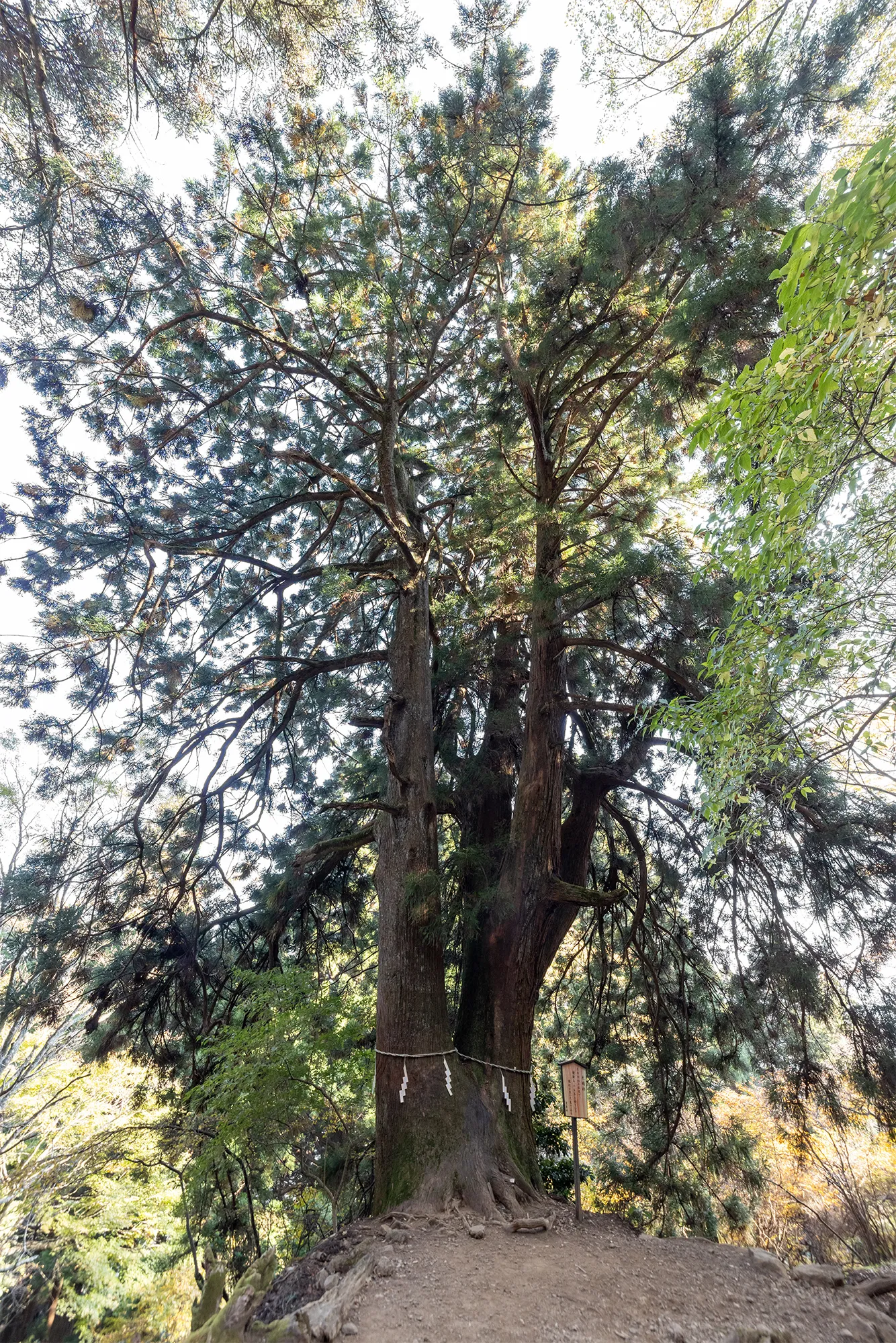
(Worship gate) - The cedar tree is said to be over 500 years old. Meotosugi
-
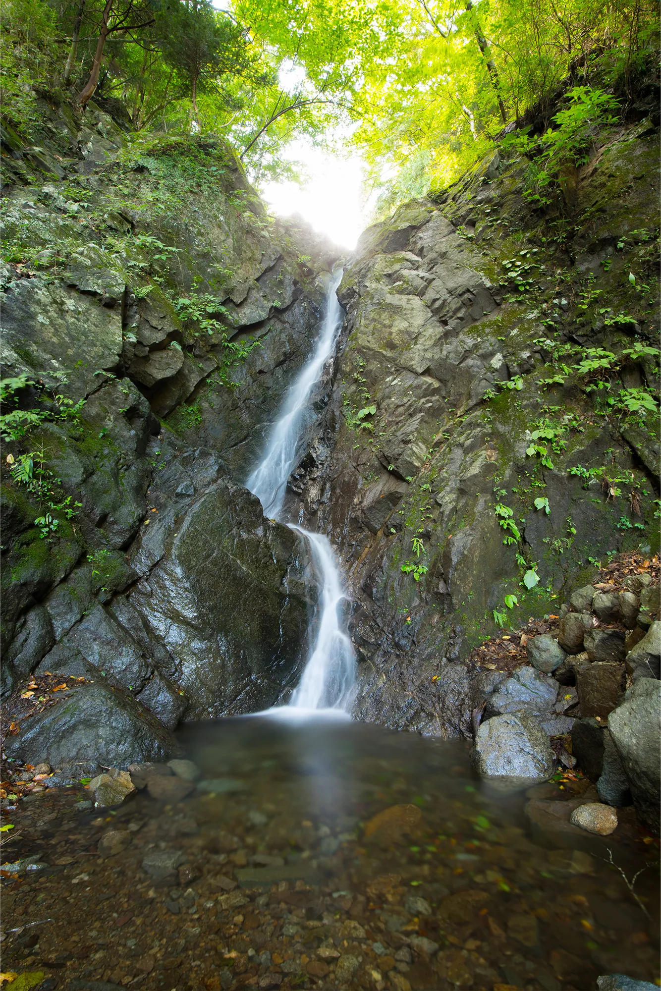
Misogi has been performed here since ancient times. There is also a legend that a dragon god appeared here.
Nijusha
(Waterfall)
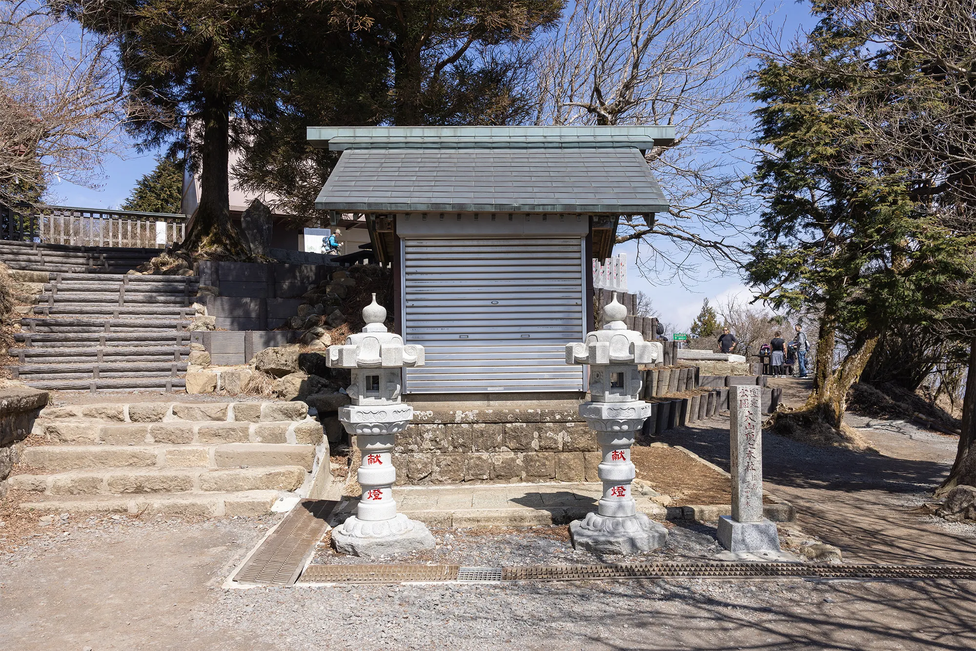
Honsha

- Honsha
- Torii
- Zensha
(Front Shrine) - Stores
- Shrine
Office - Honsha
(Main Shrine) - Okusha
(Inner Shrine) - Afuri tree

- Mt. Fuji
- Ochudo
- Public toilet
- View square
- Observation
point
- Mt. Fuji

Stairs Scenic Spots
- Torii
-
Zensha
(Front Shrine) - Stores
- Shrine Office
-
This shrine enshrines Oyamatsumi no Okami, the deity of Mt. Known as the god of mountains, he is the main deity of the company.
Honsha
(Main Shrine) -
This shrine enshrines Torinoiwakusufune no Kami. Oyama is well visible from the sea and is known as a landmark by fishermen, and thus Torinoiwakusufune no Kami is enshrined at this shrine.
Torinoiwakusufune
Shrine -
This shrine enshrines Ooikazuchi no Kami. He is worshipped as a god to ward off fire and theft, and is also known as the Great Tengu in Oyama.
Okusha
(Inner Shrine) - It is said that the name "Rainfall Mountain" came about because dew was always dripping from this tree. Afuri tree